
Run a Pendleton County Property Search
WV Property Assessment makes a practical first stop when a Pendleton County property is known by street, owner, or parcel. Pick Pendleton County first. The system offers Basic, Appraisal/Sales, Advanced, and Prior Ownership modes. Begin with one stable key. Let the returned parcel ID drive the second pass. Rural addresses, or ones listed under a postal community name, deserve care, since a city label rarely marks the true town boundary or tax district.
A careful search narrows from a broad clue to an exact identifier. An address result hands you a parcel to test. The parcel number then keeps the assessor, GIS, and deed references aligned. Owner-name results may span several parcels. They can also show only one name in a short result. Open the details panel. Compare the legal description, mailing address, and book/page clue before moving on to the Clerk's land records.
- Select Pendleton County and enter the best known address, owner, street or parcel clue.
- Record the full IAS parcel ID, legal description, physical situs and current owner field.
- Use the parcel detail or map-card link to compare mailing address and deed book/page.
- Take the owner name or book/page to the Pendleton County Clerk’s land-record route.
- Check the map and tax inquiry for that same parcel rather than a similar road name.
WV Fields for Pendleton County Property Search
The WV search form runs broad for a county lookup. It can narrow an assessment by ownership, street, parcel, land use, tax class, acreage, building traits, sales range, or deed reference. Most fields turn optional once the county is set. Pendleton County has no official online coverage cutoff, though. An old transfer still needs a clerk-book check. That holds even when the form offers a Prior Ownership mode.
| Field or mode | What it narrows | Format or caution |
|---|---|---|
| County / District | Jurisdiction and tax district | Choose Pendleton first |
| Search Options | Basic, Appraisal/Sales, Advanced, Prior Ownership | Modes expose different fields |
| Owner Name | Indexed tax-roll owner | Entity names and joint owners may vary |
| Street Name | Parcels tied to a road | Broad results may form a block list |
| Full Parcel ID | Exact IAS parcel | Keep each zero and segment |
| Map / Parcel / Sub-Parcel | Parts of the parcel key | Use county format |
| Property Class / Tax Class | Property and tax categories | Options load in the system |
| Land Use | Use classification | State options apply |
| Land / Building / Total Appraisal | Value ranges | Separate minimum and maximum fields |
| Calculated / Deeded Acres | Area ranges | These are distinct fields |
| Sale From / Through, Price | Sale date and amount | Range filters; result is not a new appraisal |
| Flood Hazard | Advanced flood filter | Not a flood certification |
| Mailing Address | Tax notice destination | Can differ from physical situs |
| Deed Book / Page | Recorded-reference search | Use the card’s citation |
| Legal Description | Description text | May include rural metes and bounds |
| Building Year / Area | Structure traits | Minimum and maximum ranges |
| Primary / Secondary Structures | Structure counts | Optional filters |
| Lines per page / display choices | Result layout and fields | Can add legal description or GIS ID |
The WV Property Assessment search shows these field groups. Save the full parcel ID from a promising result before trying another mode.
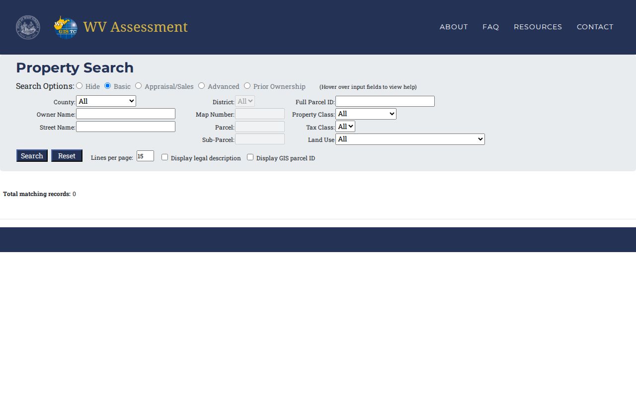
This is the state form, not a sample parcel card. No single field is guaranteed to return data for every Pendleton County tract.
Fields in a Pendleton County Property Result
An assessment result is a tax-roll snapshot, nothing more. WV's built-in descriptions cover owner, physical address, parcel number, description, building information, cost values, and appraised values, while the map viewer adds community, flood, and geometry context. Not every parcel card shows every sale. Exemptions and the land-and-improvement split can be absent too. Open the details instead of trusting the short row. The viewer itself warns that a summary may show one owner where several exist. That warning matters for shared family land.
| Owner name | Tax-roll name; check details for more than one owner |
|---|---|
| Physical / mailing address | Situs location and separate tax-mail destination |
| Parcel ID | District, map, parcel and suffix used across systems |
| Description / building | Legal text and structure information when available |
| Cost / appraised values | Assessment fields, not a private appraisal |
| Deed reference | Book and page when shown on the card |
Confirm the same tract in the Clerk index by parcel key. A similar owner name is not enough. Deed consideration, assessed value, and likely sale value are separate figures. A short row can omit co-owners. Legal detail or a recent transfer may drop out too. For a Pendleton County property, the latest recorded conveyance is a better check than an owner label alone. Its legal description is a second strong check. The Pendleton Assessor map-card viewer asks for district, map, and parcel details. Its map-card view can reconcile the tax roll with a WV Property Search result.
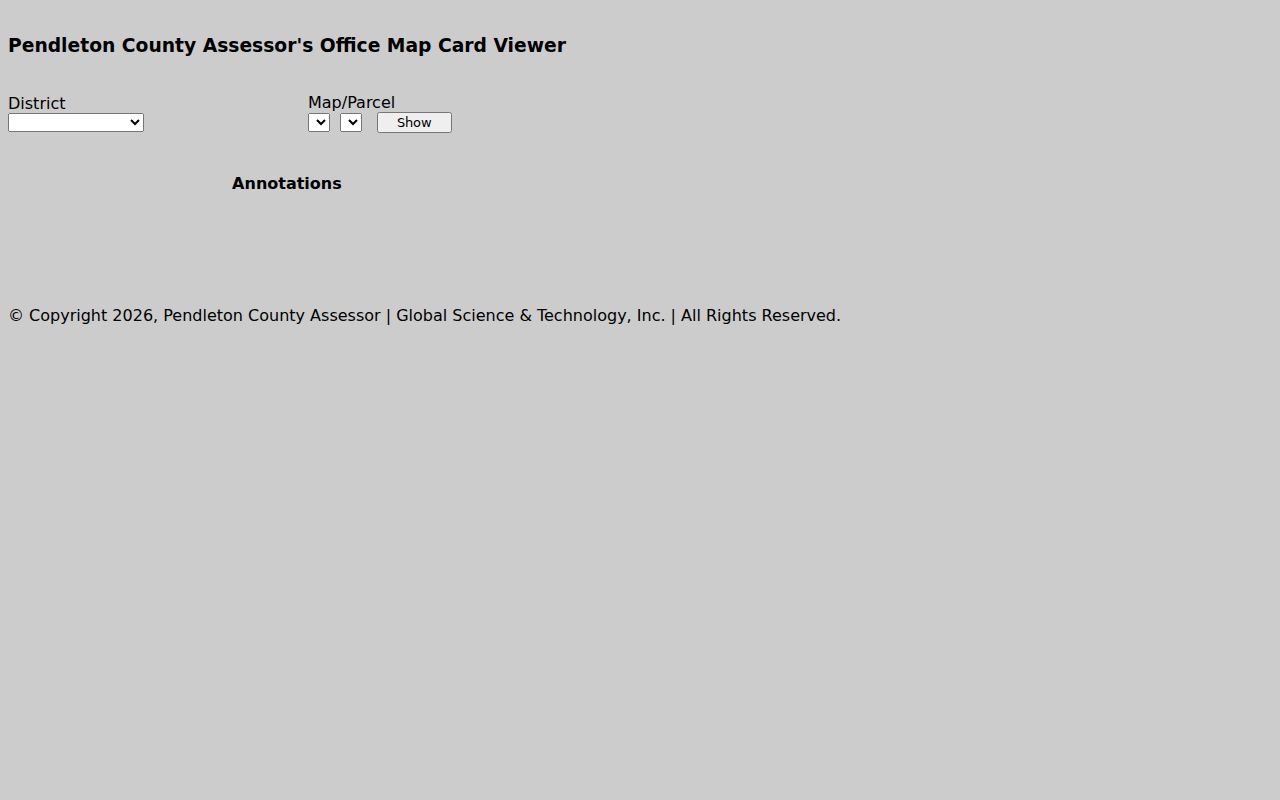
This view shows search controls, not a sample owner record.
Pendleton County Prior Ownership Mode
Prior Ownership mode helps when a known name no longer matches the parcel. The name may not match the parcel's current tax-roll owner. It can trace an earlier name inside the assessment system. The portal publishes no coverage start date for the county. Treat the mode as a clue, not a deed chain. It is not proof that every prior owner is indexed. Record each name and parcel identifier it returns. Then confirm the transfer in the County Clerk's instruments.
Names change for many reasons. A sale can shift the owner of record. An estate administration, a trust conveyance, or a business reorganization can do the same. A prior owner shown by the tax search may not be the grantor on the transferring deed. Match the legal description, book, page, and date before calling two entries the same tract. When prior-owner results stop, the trail does not. Follow the deed's cited reference or the historic indexes. Do not assume the online tool reaches back indefinitely.
Choose a Pendleton County Search Key
Address, owner, and parcel number do different jobs in a Pendleton County search. An address is easy to remember. But it may carry a postal place name or an old road name. An owner search can find multiple parcels. It may also split a family name, an estate, or a legal entity into separate forms. The IAS parcel ID is the most exact key once found, yet it is hard to guess from scratch. Keep whatever key produced the match. Verify it in the other source.
| Search Key | Best For | Where It Works | Watch Out |
|---|---|---|---|
| Address | Start from a known house or road | Assessment and E-911 map search | Postal city may not be the town |
| Owner name | Find parcels tied to a person or entity | Assessment and Clerk indexes | Indexing and name form can vary |
| IAS parcel ID | Match one tract across systems | Assessment, GIS and tax tools | Keep leading zeros and all segments |
Not a title search. A Pendleton County property search returns records of record, but it cannot guarantee clear title. A qualified title professional reviews the full chain and exceptions.
Pendleton Street Search and Rural Addresses
WV Property Assessment offers a Street Name field. In Pendleton County, that field can pull a wide group of parcels at once. It works well when you know the road but not the house number. It also helps when one road runs through several communities. Expect the first pass to look like a block list. Narrow it afterward with district, owner or map details.
Rural addresses bring their own noise. Franklin, Brandywine, Circleville, Riverton and Upper Tract share familiar ZIP names. Yet a postal city is not a municipal boundary. Compare the physical situs address with the owner mailing address. The first locates the parcel. The second shows where the tax bill travels. An older record may carry a road name that no longer exists. Take the legal description and deed reference to the Clerk rather than forcing a modern street match.
Pendleton Owner Names and Entities
A Pendleton County assessor result can name a person, a trust, an LLC or an estate. Joint owners appear often too. Start with the full legal name from the parcel detail. A recent transfer may seem missing. If so, try a prior name or an estate phrase in the Clerk's deed index. A summary may list one owner of record while the details list several. Never read a mailing address as the property's location. It is not proof the name on the tax roll holds every interest.
The tax roll may name an entity. The West Virginia Secretary of State's business search can confirm its legal name and registered agent. That corporate entry alone says nothing about land. Match the entity name to the assessor parcel and the recorded deed. A parcel card and a deed are different records. Keep the book/page or legal description as the bridge between them.
The WV business organization search exposes organization and agent/officer name fields. It is a state entity lookup. The Pendleton Assessor remains the source for taxable parcels and their appraisal details.
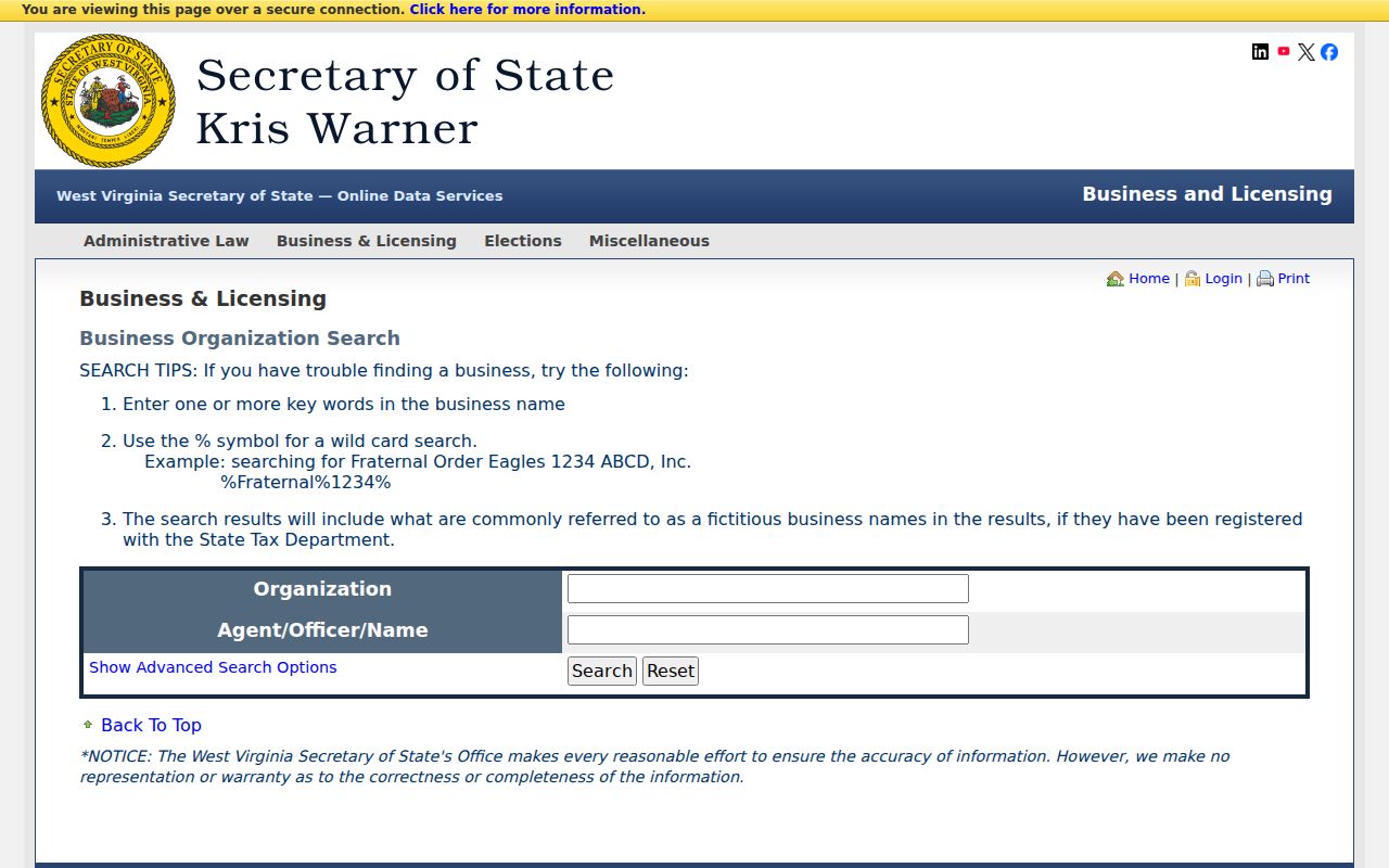
Use this state record only to pin down an entity name that already appears in a local property result.
Pendleton County Search to GIS Map
The WV Property Viewer accepts an E-911 address. It also takes an owner, full or split parcel attributes, geometry and buffer input, or latitude and longitude. Once a result appears, use Identify or click the parcel. Open Details, and compare the IAS ID against the assessment record. Search, Start Over, Highlight, copy-link, CSV export and KMZ download are among the documented controls. Boundaries appear only after a close zoom, around 1:18,056 or nearer. When polygons overlap, the popup offers arrows that step through each parcel.
This map step confirms that your search key points to the expected tract. It does not settle legal ownership or set a survey line. The viewer links back to the assessment report. But the county notes that map geometry may be incomplete while conversion is pending. For a specific line dispute, rely on the deed and plat. Then consult a surveyor.
The WV Property Viewer provides the Pendleton County parcel map and its search tools. Its built-in help is useful when a plain address search will not select a single tract.
After the right polygon is confirmed, carry the parcel ID back to the assessment and tax records.
When a Pendleton Name Search Misses
The assessor and Clerk indexes cover different ground. The current tax search is broad across owner, street and parcel fields. The County Clerk warns plainly on this point. Not every land record has been indexed by name. For an older Pendleton County transfer, search the known book and page. Or follow a later deed's reference. Or compare exact legal-description text. Treat name variants as a first step only. A blank result never proves a deed or lien is absent.
Some older books still need a counter or archive visit. The Clerk sits in the Franklin courthouse complex on weekdays. Confirm access, copy options and current fees before setting out. The Archives' finding aid lists historic deed runs. The local library offers genealogy help and internet access. These paths matter when a portal has no image. But tie every library or archive clue back to the recorded land instrument itself.
Pendleton Search Results and Next Steps
A clean property search ends with a short record trail. You want the assessor result, the full parcel number, and the map or map card. Get any deed book/page shown too. A tax concern? Check the Sheriff's inquiry and the State Auditor result. A court case? Use the case number to find the docket, then ask the local clerk for documents. When a portal lacks a record, send a narrow WV FOIA request. Address it to the custodian. Do not ask one office to search another office's files.
For broader boundary reading, the Pendleton County parcel-map overview explains the GIS layers. It also covers the plat route. The property search supplies the parcel key. The map page handles what the lines do and do not show.