
Reading Pendleton County Parcel Maps
Pendleton County parcels appear in the WV Property Viewer, the statewide map tool. Parcel geometry sits alongside roads, topography, imagery, address numbers, and flood-zone context. Look up a tract several ways. Search by E-911 address or owner name. You can also use a whole or split IAS number, geometry and buffer, or coordinates. Once a parcel shows on screen, click Identify to select it. Then Details or Highlight will inspect what the county has on file. The parcel search can also open the assessment report. These GIS layers are a solid start for locating land in Pendleton County. They are not a deed, though, and no substitute for a survey.
| Layer | What It Shows | Use |
|---|---|---|
| Parcels | Reference geometry and parcel ID | Locate and select a tract |
| Roads, topography, imagery | Basemap and rural land context | Orient around valleys and roads |
| Address numbers | E-911 address context | Compare the situs to a road label |
| Flood zones | Flood reference layer | Use for early review, not certification |
| Owner and parcel search | Name or IAS attributes | Find a likely parcel match |
| Geometry and buffer | Nearby features around a search point | Explore surrounding tracts |
| Identify / Details | Selected parcel information | Open the panel after zooming in |
| Highlight / copy link | Selected parcel emphasis and URL | Share a working map reference |
| CSV / KMZ download | Search or map output | Save a working list or map file |
Take the district, map, parcel, and suffix straight from the map into WV Property Assessment. Compare the address, legal description, and deed reference there. The County Clerk holds the recorded maps and plats. A deed's description still controls what land is conveyed. For the full sequence, follow the Pendleton County property search steps that tie map, deed, and tax records together. The WV Property Viewer's public map page supplies the tools for searching Pendleton County geography.
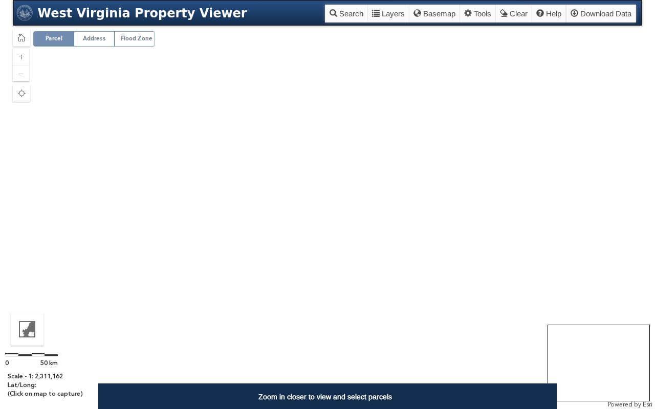
The WV Property Viewer page displays its search controls.
Pendleton County Parcel Zoom Level
Parcel boundaries stay hidden until the state viewer is zoomed to about 1:18,056 or closer. Wider views show roads and communities first. Zoom in before you click. Then Identify opens the parcel panel. Overlapping tracts on screen bring up arrows that step through the Parcel IDs. That matters in Pendleton County's rural valleys, where a road or place name rarely isolates one parcel. Never treat a visible edge as a legal boundary. The viewer calls its geometry a reference layer. The local assessor corrects wrong names, addresses, and property information. For a written land description, use the deed or a recorded plat. For a line on the ground, hire a licensed surveyor. The Pendleton viewer link points to the parcel-identification panel.
The screenshot documents the intended selection panel, although no live sample parcel was captured.
Pendleton County IAS Parcel Key
West Virginia's IAS key has four parts. District, map, parcel, and suffix come in order. The displayed form is strict. Two digits mark the district; four digits each mark map, parcel, and suffix. Leading zeroes fill the gaps. The viewer's example reads 01 2345-6789-0123. Use the full string across WV Property Assessment, the map viewer, tax inquiry, and any Clerk reference, because one dropped zero can point to a different Pendleton County tract. Keep the parcel ID with the situs address and legal description. Owner names change. Postal city labels blur. The number is the steadier join between systems, while the Clerk's book and page plus the written deed still settle old splits and lot lines that stray from a current polygon. The Pendleton Assessor map-card viewer searches by district, map, and parcel.
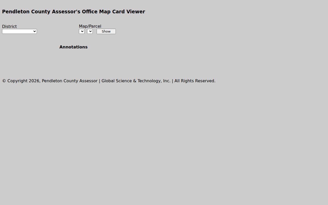
The local card controls reinforce the same parcel key statewide.
Find a Pendleton County Parcel by Address
The WV viewer takes an E-911 address search. Rural mailing labels can differ from a parcel's legal situs, though. Then check the IAS number and geometry. Several candidates deserve a second look at the assessor search and local map-card view. If the address fails, search by owner or by district, map, and parcel parts. Don't read a postal community as a municipal boundary. A street name alone is a weak anchor in a county this rural.
- Search an E-911 address or enter the whole IAS parcel ID.
- Zoom until polygons appear, select the parcel and open Details.
- Compare parcel ID and situs with the Pendleton assessment record.
- Use the County Clerk deed or plat reference to check the written description.
- IAS parcel ID
- The district, map, parcel and suffix key used across state and county tools.
- Plat
- A recorded plan that lays out lots or tracts.
- Lot and block
- A platted description that points to a lot and its recorded plan.
- Metes and bounds
- A land description using bearings, distances and boundary calls.
What Pendleton County Parcel Maps Do Not Prove
A GIS polygon serves reference and assessment work. It is not a survey, deed, title opinion, or flood certification. The state even warns that county GIS data can be unavailable or incomplete while paper mapping is converted. A line can frame a fence question. It cannot answer one.
Not a survey. Pendleton County parcel maps are reference geometry. Use the recorded deed or plat for the written description and hire a licensed surveyor to set or dispute a boundary.
Pendleton County Plats and Land Descriptions
The County Clerk maintains the maps and plats. A subdivision lot is described by lot and block plus a recorded plat book and page. Rural Pendleton tracts run the other way. They use acreage, metes, bounds, or neighbors. Search for the plan named in the deed and carry its reference to the Clerk. A GIS parcel can draw an approximate polygon even when the legal description rests on an old survey or a chain of calls around a ridge, creek, or neighbor line. The Clerk publishes no complete Franklin subdivision list or county plat index. A community name is not always a subdivision. Ask for the maps-and-plats collection instead. Confirm book, page, instrument number, and copy options there. That is the right route when a name on the assessor card does not identify a parcel's origin.
Pendleton County GIS Data and Gaps
Pendleton County parcels live inside a statewide system. The state assessment overview and GIS-data page explains how it all connects. Each year, a master surface tax-parcel file merges county GIS parcels with assessment attributes. Geometry can lag, though. The viewer warns that a county's parcel data may be missing or incomplete. That can happen where mapping is still on paper or a conversion is underway. A Pendleton polygon might simply not appear. When that happens, contact the local Assessor. Ask whether a paper map or corrected parcel entry exists.
Start with the state overview to find current data details. Then ask the county directly about any missing geometry. The WV viewer accepts several search keys. An E-911 address works, and so does an owner name, a full IAS identifier, or the separate district, map, parcel, and suffix fields. Coordinates and geometry or buffer queries are supported too. In rural Pendleton, a parcel number or owner often beats a postal street address. Community labels and route names vary widely there. Keep the full identifier from your first reliable result, since a second search can quietly point to a neighboring tract.
The Identify and Details tools tie a shape to its listed parcel data. Highlight keeps a chosen tract visible. Copy-link, CSV, and KMZ exports are handy for a working map or a research note. An export records what the online layer returned at that time. Save the search key and access date with it. Some parcels never show up. Others come back ambiguous or incomplete. In those cases, ask the Pendleton Assessor about the official record and the County Clerk about a recorded plat before treating the map as a complete account.
Nearby Pendleton County Parcels
Neighbor lookups start with the buffer control. Select the known parcel and study the adjoining polygons. The feature can also export a CSV or KMZ for a working map. A street-name search in the assessment system may return a broader group, so confirm how the list groups and paginates before relying on it. Nearby parcels can cross tax districts. They may also cross postal communities.
The property neighbor lookup explains the adjacent-parcel process in more detail. The map is only a start. For a single boundary question, a plat from the County Clerk, or a surveyor's work, gives stronger evidence.