
Value Types in a Pendleton County Parcel Record
A tax assessment and a sale price answer different questions. West Virginia values real property each July 1. It applies a 60 percent ratio to true and actual value. So the assessed number is a statutory slice of the county's estimate. It is not proof of what a buyer paid and not a broker's opinion of worth today. Pendleton County works with two views of the same parcel. The state assessment system carries parcel-level assessment details. The county's map-card viewer ties each parcel to its local record card. Expect the labels and layouts to differ a bit between the two.
| Value | What It Is | Where |
|---|---|---|
| Assessed value | The taxable assessment at the state's 60% level of true and actual value | County assessor record or state Assessment search |
| True and actual value | The assessor's full-value basis before applying the assessment level | Assessment detail, when displayed |
| Last sale price | Consideration associated with a deed transfer; not necessarily a current market estimate | Deed index and recorded instrument, sometimes reflected in assessment data |
| Land and improvements | Components assigned to land and buildings or other improvements | Assessor card and assessment detail |
These entries show how an assessor reached a tax figure. That is not a certified appraisal. A deed states the consideration for one transfer. The assessor estimates value through mass appraisal and applies the state ratio. Non-arm's-length transfers and family conveyances can skew a sale. Partial interests and shifting market conditions can too. Record the parcel identifier and tax year whenever you compare them.
West Virginia's Assessment Level and Annual Date
West Virginia law sets the assessment level for real property at 60 percent of true and actual value. The valuation date is July 1. That date matters more than it looks. A record is a snapshot for the tax cycle. It does not update every time a nearby property sells. State law also places counties on a three-year valuation cycle, so valuation work and notices can be staged across multiple tax years. Read each Pendleton parcel page with its stated year and assessment context in view. The state and county tools serve different tasks. The statewide West Virginia Property Assessment search reaches assessment records across participating counties. The county's Pendleton map-card viewer takes a parcel-oriented route to local details. A search result is a useful lead. The Assessor remains the source for the current certified assessment and for any correction to the official roll. West Virginia Code §11-1C-9 governs the three-year reappraisal cycle. It does not promise uniform change. No property's record moves by the same percentage, and a market increase is not copied straight into an assessment. Parcel characteristics, class, use, and appraisal evidence all matter. No countywide recent percentage change is published, so a single trend should not be inferred from one parcel or a statewide summary.
How to Find a Pendleton County Property Value
Start with the parcel record. Verify any transaction separately if that is the question you are answering. The assessment tools accept different search keys. A rural location can be easier to find by owner name, route address, district and map parcel, or full identifier than by a mailing address alone. Search boxes vary. The related Pendleton County property search guide explains the available search modes.
- Search the statewide assessment system by owner or location, or open the Pendleton map-card viewer when you know the parcel number.
- Confirm the district, map, parcel, and suffix where shown; compare the displayed property description with the land you intend to research.
- Read the assessment year, class, land value, improvement value, and total assessed amount. Keep full value and assessed value distinct if both appear.
- For a sale reference, search the County Clerk's grantor/grantee index and inspect the deed. The index's online completeness and cutoff have not been published in the local source material.
- If a figure appears inconsistent, contact the Pendleton County Assessor to confirm the official card and valuation year.
- Assessed value
- The amount entered at the 60 percent assessment level for tax purposes.
- True and actual value
- The assessor's estimate of full value before the statutory assessment ratio.
- Sale consideration
- The amount or consideration reported in a specific conveyance; it is evidence about that transfer, not a guaranteed current value.
Read the Parcel's Value Components Together
A parcel card splits totals into land and improvements. It can describe acreage, structures, and the assessment class. Those fields are not interchangeable. Land value can reflect location, access, use, and parcel shape. Improvements, by contrast, reflect recorded building characteristics. An omitted feature or stale description may explain a surprising result. Still, the online card alone does not decide whether the official appraisal is correct. Keep good notes in Pendleton County. Preserve the parcel's exact identifier and tax year beside every number you note. West Virginia identifiers run district, then map, parcel, and suffix. Leading zeroes can matter in search boxes. If a card shows more than one owner line or a condensed ownership label, treat it as a pointer. Check the assessor record before drawing conclusions. A tax bill total is not the assessed value either. It folds in tax rates. It also reflects other account conditions that the parcel's value figures leave out.
A Deed Price and an Assessment Answer Different Questions
Two offices in Pendleton County answer value questions from different directions. The County Clerk records conveyance documents, while the Assessor maintains each property assessment. A deed shows what instrument was recorded. It may state a consideration amount. That amount does not certify open-market value, though. It can be absent, nominal, or shaped by the type of transfer. The assessment, meanwhile, exists for public taxation under West Virginia's appraisal rules. Keep this in mind: neither record is a current professional appraisal.
Tracing why a value changed takes some cross-checking. Compare the assessment year with deed dates. Then look for changes in acreage, structures, use, or classification. The Clerk's deed records can establish a transfer sequence. The Assessor can explain the parcel's current roll entry. A freshly recorded deed may not appear on the current card yet. Check before assuming the two agree.
Use Classification Can Affect the Value Record
West Virginia uses classifications and programs that change how qualifying land is assessed. Pendleton County parcels may fall under farm-use applications. Others enter the Managed Timberland program. The Homestead exemption and military-related exemptions also apply. These paths have their own rules. None is an automatic discount on rural land. Farm applications run July 1 through September 1. State guidance says late filings are denied.
A parcel card's class or use entry is only a clue. It does not prove a parcel qualifies today. Land enrolled in a use program may not compare cleanly with nearby parcels. Those parcels may sit under another class. That matters when you weigh values across a road or a hollow. For status, deadlines, and eligibility, ask the Assessor rather than inferring from an old card. The Pendleton County tax record guide carries the detailed exemption and deadline information.
Franklin's Historic Setting Is Not a Value Estimate
Franklin is Pendleton County's incorporated town and county seat. Its historic district was listed in 1985. That designation opens a genuine historic-research lead. It does not, however, come with a parcel-level district boundary or a Franklin-only assessment trend. A Franklin postal address alone proves nothing about district membership or current assessed value. For a specific property, check the relevant mapping and the town or county records.
ZIP code 26807 marks a postal area, not a municipal boundary. The reverse confusion shows up in the county's rural stretches, where a mailing label can suggest a town that does not exist as one. When comparing values or tax treatment, the Assessor's parcel and jurisdiction fields beat the mailing address every time.
What an Assessment Screen Can and Cannot Establish
The state assessment application is good for one thing: locating an entry. It also lets you compare public fields. The county map-card viewer adds another view of the local parcel card. Neither screen certifies a value. A display also cannot vouch that a property's figures are current. Confirm the parcel and year on the actual record before relying on anything. The West Virginia assessment landing page opens the statewide valuation and parcel assessment resources.
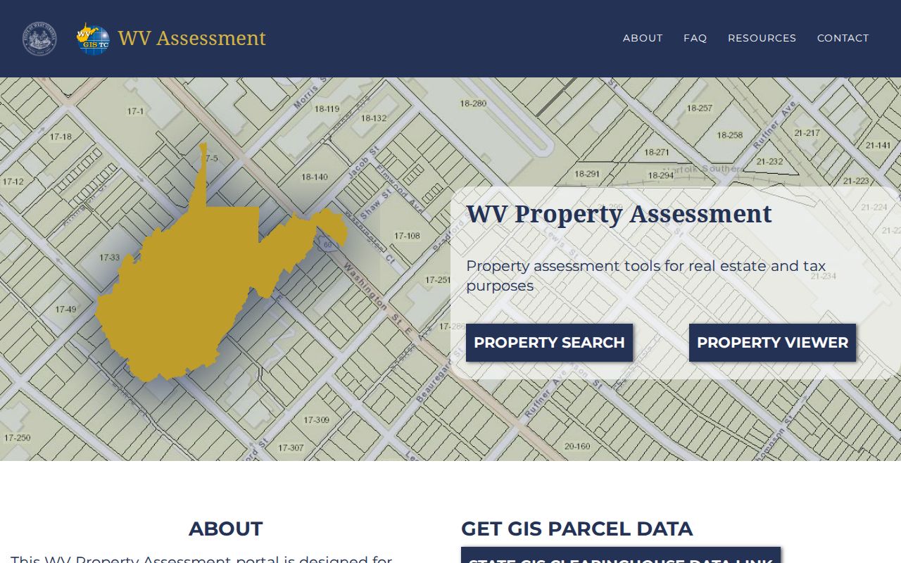
Treat this state landing page as an entry point, not the finish line. Always confirm the county and assessment year in the detailed record. The Pendleton County Assessor map-card viewer reaches a parcel card through district, map, and parcel information.
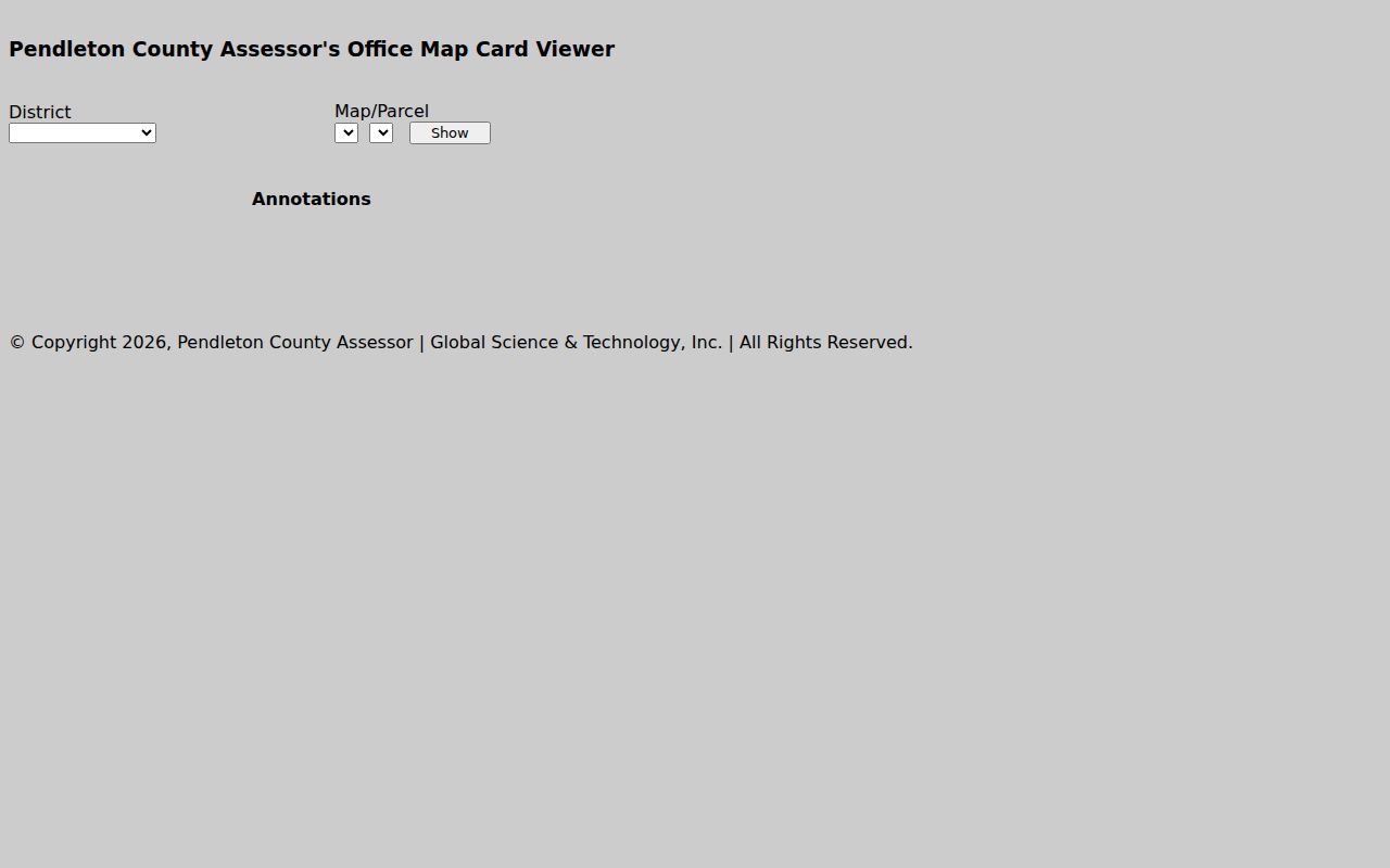
Use the card view to tie a value to its parcel key. The display itself is not a certified appraisal. West Virginia Code §11-3-2A sets out notice and review procedures for qualifying assessment increases.
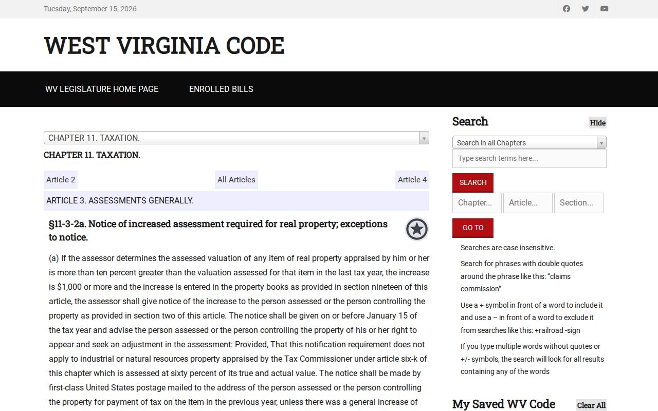
The statute is the primary source for the notice rule. For a specific property, ask the Assessor or the Board of Review and Equalization. They can speak to the case at hand.
Broader identity work calls for more sources. Compare the parcel card with a deed description and a parcel map. A GIS boundary line is not a survey. A recorded acreage can differ from a map measurement. Keep value research separate from tax payment status too. The Sheriff collects county taxes, while the Assessor maintains assessment information.
Limits of a Pendleton County Property Value Search
A public search result is a starting point, nothing more. It is not a title opinion, a survey, or an appraisal. Assessment figures serve taxation. They reflect one valuation date and class. They may lag behind a transfer or physical change. Deed consideration describes one transaction, not a standing market figure. A parcel map orients you but never establishes a surveyed boundary. For lending, sale, estate, or boundary decisions, rely on the qualified professional. Use the official source that fits the question.
Assessment is not a sale appraisal. A Pendleton County assessor value is a public tax figure and may differ from a likely selling price. For a current market opinion, consult a licensed appraiser or other qualified valuation professional.